- Customer Stories
- /
- AI Landmine Detection with Drones
AI Landmine Detection with Drones
Drone surveys with multispectral cameras and a deep learning model that flags landmines, shells and missile remnants from the air, so deminers go only where a hazard is flagged.
Detection accuracy, vs 70% by hand
More ground a day: 10,000 m² vs 500 m²
Fewer incidents than manual surveys
Landmines and missile remnants keep post-conflict land closed for years: our client needed a faster and safer way to find them, without sending people in first.
Blackthorn AI built the AI behind a drone survey system for humanitarian demining. Drones with multispectral cameras fly over suspected areas, and a deep learning model flags anti-personnel and anti-vehicle mines, shells and missile remnants in the images, each with a confidence score and GPS coordinates. Deminers then check only the flagged spots instead of sweeping every square metre by hand. The work ran for 30 weeks, from dataset research to field tests on several terrains, and covered the detection model, the drone integration and an offline app for operators.
Industrial & Inspection
Industry
Computer Vision, Edge AI, MLOps, Mobile Development
Services
Ukraine
Location
Computer vision · Drone integration
Engagement
Manual mine surveys are slow, costly and dangerous for the people doing them
Landmines and unexploded ordnance keep farmland, roads and villages closed long after the fighting stops, and they keep injuring civilians. Manual survey teams walk the ground with detectors and probes. A team covers about 500 m² a day, finds about 70% of the mines, costs around $5 per square metre and has about 5 accidents per 1,000 operations. A report takes about a week, and the work disturbs about 30% of the vegetation on the surveyed area. The client needed a remote system that finds mines faster and more accurately, keeps people out of the minefield until the hazards are mapped, and works offline in the field.
Deep learning landmine detection from drone imagery
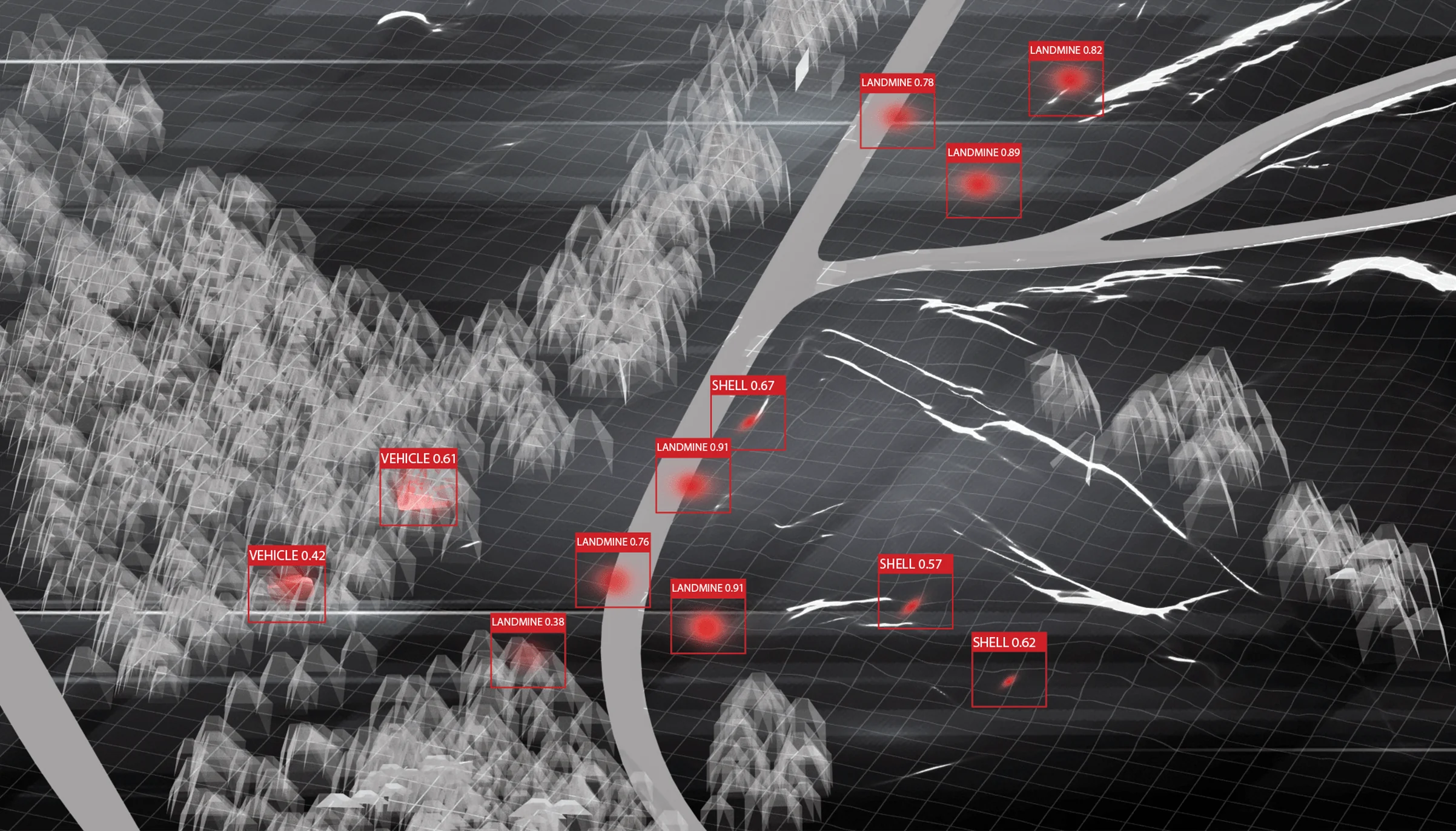
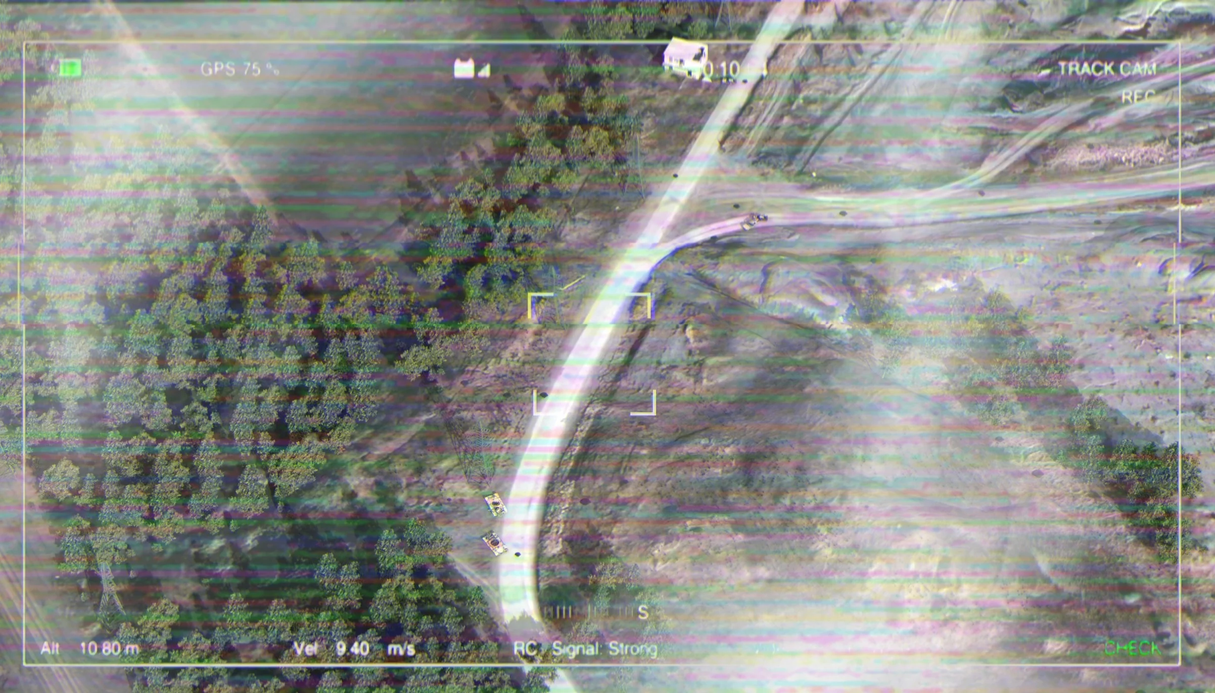
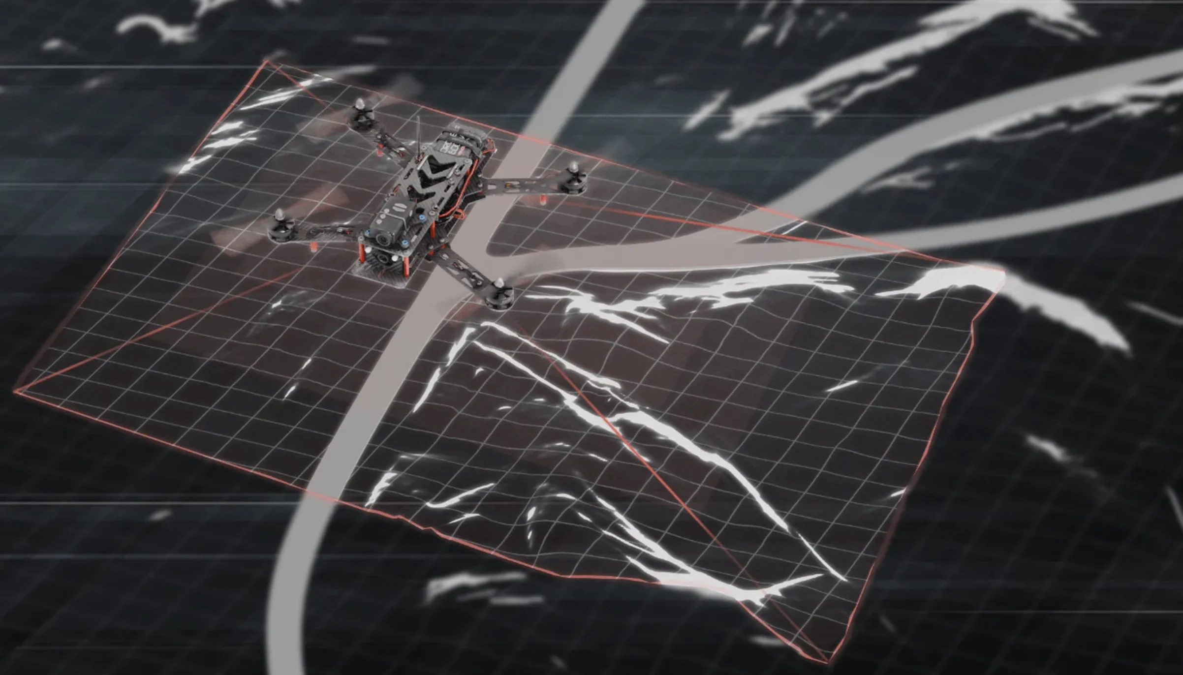
We connected DJI drones with multispectral cameras to a detection pipeline. A convolutional neural network (CNN), trained on aerial images of anti-personnel and anti-vehicle mines across many terrains and weather conditions, scans each image and flags likely mines, shells and missile remnants. For every find, the operator app shows the model’s top three guesses with confidence scores and records the GPS coordinates. It works offline and returns results within a minute of a flight. Operators confirm or correct each find, and their corrections go back into training, so the model keeps improving on new terrain.

Custom AI Models Built with Python and PyTorch
PyTorch for the detection model, TensorFlow Lite for offline inference on the operator’s device, C++ and FastAPI for the image pipeline and model service, Flutter and Dart for the operator app, and Docker on Google Cloud for packaging and retraining.








Project duration
30 weeks in five phases, from dataset research to field tests.
01–04 Weeks
Reviewed existing landmine detection methods and their limits. Gathered a first dataset of aerial images of anti-personnel and anti-vehicle mines, terrains and false positives from several sources and contaminated areas, and identified the limits of DJI drones and the most common mine types.
05–08 Weeks
Expanded the dataset with augmentation to cover more terrains and weather conditions. Designed a baseline convolutional neural network for landmine detection, tuned its hyperparameters and trained it.
09–16 Weeks
Integrated the DJI drone with the detection software, built a pipeline that processes drone images as they arrive, and collected aerial data in field tests on several terrains.
17–24 Weeks
Trained the improved model on the enlarged dataset and tuned it against a cross-validation set, revising the architecture until accuracy held up on real terrain and in different weather.
25–30 Weeks
Added the feedback loop that turns operators’ corrections into model updates, deployed the updated model with offline support, and ran extensive field tests in real conditions across varied terrain.
Team Size





What Drone-Based Detection Delivered
Field-test results of the final system, compared with the manual survey method. Accuracy is the average share of landmines correctly identified across terrains and weather conditions.
92%
Detection accuracyThe fine-tuned model identified landmines with 92% average accuracy, 22 percentage points more than the 70% of the manual method.
20×
More ground surveyed a dayThe drone system surveys up to 10,000 m² a day, against about 500 m² for a manual team.
90%
Fewer incidents0.5 accidents per 1,000 operations, down from an average of 5 per 1,000 in manual surveys.
80%
Lower cost per square metreDetection costs fell to about $1 per m², against around $5 per m² for the manual method.
24 h
From survey to reportThe system analyses an area and reports its findings within 24 hours; the manual process takes about 7 days.
83%
Less damage to vegetationDrone surveys disturb about 5% of the vegetation on the surveyed area, against about 30% for manual surveys.
A drone flies a planned grid over the suspected area, photographs the ground, and a computer vision model looks for mines in every image. In this project, DJI drones carried multispectral cameras, and a convolutional neural network (CNN) trained on aerial images of anti-personnel and anti-vehicle mines, shells and missile remnants flagged each likely object with a label, a confidence score and GPS coordinates. Deminers then check only the flagged spots on the ground. For another drone inspection system we built, see drone-based corrosion monitoring.
In this project’s field tests, the final model identified landmines with 92% average accuracy across terrains and weather conditions, against about 70% for the manual survey method. Accuracy depends on the mine type, how deep it is buried, vegetation and light, so the model was trained on augmented images of many terrains and keeps learning from operators’ corrections. A drone survey narrows down where to look; it does not replace clearance by trained deminers.
No. Drones replace much of the walking survey, not the clearance itself. They map where mines and unexploded ordnance are likely to be, so teams can release safe land sooner and send deminers only to flagged hazards. In this project that cut the accident rate to 0.5 per 1,000 operations, from about 5 for manual surveys, and drone operators needed about 40 hours of training instead of the 200 hours a deminer needs.
In this project, about $1 per square metre surveyed, against about $5 for the manual method, an 80% saving. The drone system surveys up to 10,000 m² a day, compared with about 500 m² for a manual team, and reports on an area within 24 hours instead of about 7 days. Doubling coverage needs about 50% more resources, while doubling a manual operation means doubling people and equipment.
This system uses multispectral cameras on DJI drones. They capture light beyond the visible range, which can make surface and shallow-buried objects stand out from soil and vegetation. Other drone payloads used in demining include thermal cameras, magnetometers and ground-penetrating radar; which one fits depends on the mine types, the soil and how deep the targets lie. Because the detection software works on camera images, it runs with standard drone hardware.
Yes. The model runs on the operator’s device with TensorFlow Lite, so it needs no network in the field. Within a minute of a flight, the app shows each find with the model’s top three guesses and confidence scores and saves its GPS coordinates. Operators confirm or correct each find, and those corrections feed back into training. For more on running models on small devices, see our edge AI food quality control case study.
This one took 30 weeks with a team of five: 4 weeks of research and data collection, 4 weeks for data augmentation and a baseline model, 8 weeks of drone integration and field data collection, 8 weeks of model optimisation and 6 weeks of deployment and field testing. Most of the effort goes into data: aerial images of real mines on many terrains are scarce, so the dataset was built from several sources and expanded with augmentation.